
On this page
- Start with the right forecast
- Translate the forecast into route questions
- Take a baseline at the start
- Watch what disappearing features mean
- Judge wind by its effect on the group
- Look ahead to the return journey
- Treat thunder as a reason to act
- Monitor people and time together
- A change of plan in the Peak District
- A walking weather check
- Questions people ask
- Sources
Reading the weather on a walk means comparing what you expected with what is happening. The useful observation is often simple: the next landmark has disappeared into cloud, a gust makes a companion stumble, or the group is taking much longer than planned. You do not need to name every cloud before deciding that the route should change.
Use observations to challenge the plan, not to overrule a poor forecast because the car park looks pleasant. This guide covers ordinary walking decisions. Winter mountaineering, avalanche terrain and exposed scrambling need specific skills and assessment beyond a general weather checklist.

Full image attribution
The Black Hill surrounded by mist - geograph.org.uk - 5263422.jpg — Walter Baxter; CC BY-SA 2.0. Resized and converted to WebP; source: https://commons.wikimedia.org/wiki/File:The_Black_Hill_surrounded_by_mist_-_geograph.org.uk_-_5263422.jpg
Start with the right forecast
Check a forecast for the area and height of the walk, including the return period. A nearby town forecast may describe conditions at a very different elevation. For upland routes, read the mountain forecast's written details as well as symbols and numbers.
The Met Office mountain forecast guide explains wind and temperature at different heights, cloud and visibility information, and mountain-specific hazards. These hazards can be present without a general severe weather warning. An empty warning map does not certify a hill as suitable for your group.
Read uncertainty as useful information. If the timing of stronger wind is unclear, do not build a plan that works only if it arrives at the latest possible moment. Choose a route with enough margin and an easy alternative. Our warning colours guide explains how general warnings fit alongside this more local planning.
Save relevant information for offline use, noting when it was issued. A saved forecast is a record of expectations, not a live update. Check again before departure when possible, particularly if the earlier forecast showed changing conditions.
Translate the forecast into route questions
| Forecast concern | Question to answer before starting |
|---|---|
| Low cloud | Can we navigate the intended ground without distant views? |
| Strong or increasing wind | Does the route include exposed edges or crossings where balance matters? |
| Persistent rain | Could a stream crossing or boggy section block the return? |
| Thunderstorms | Should we postpone the exposed route and choose accessible shelter? |
| Cold conditions and short daylight | Have we allowed for slower movement, breaks and an earlier return? |
Answer for the least experienced or most affected person, not the strongest walker. A group containing a child, someone recovering from illness or a walker with an unfamiliar pack may need a different route. Ask privately if necessary; some people are reluctant to be the person who changes the plan.
Use a route card with turnaround points to record the decisions. The card should say what happens if a condition changes, not merely list a summit and an optimistic finish time.
Take a baseline at the start
Before walking, identify the direction of the route, visible high ground and the weather where you will go next. Notice whether cloud covers the planned ridge, whether trees are moving strongly and whether rain is already affecting paths. Compare those observations with the forecast.
Check the group as carefully as the sky. Are waterproofs accessible? Can everyone use their gloves and adjust their hood? Is somebody already cold while waiting in the car park? These details affect the time and effort needed when conditions worsen later.
Record one or two useful facts rather than a full weather diary. For example, the upper path is already in cloud, or the return crossing looked high from the bridge. Such observations can justify a route change immediately. You do not owe the original plan a trial run.
Watch what disappearing features mean
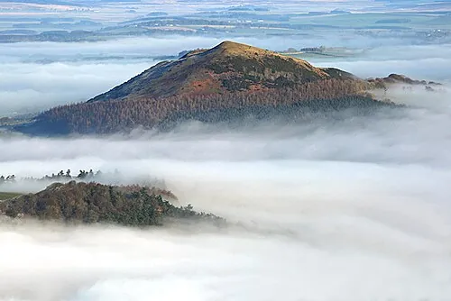
Low cloud can remove the landmarks you were using to confirm position. The Met Office's mountain safety advice explains how hill cloud reduces visibility and complicates navigation. The practical issue is whether you can still identify your position and a safe next section.
Choose a familiar visible feature early in the walk and notice when it becomes obscured. Do not stare only at the immediate path. If the next section depends on seeing a distant junction or edge, loss of that view changes the route's difficulty.
Stop somewhere safe before entering ground you cannot navigate confidently. Use the map and compass guide for training on easy terrain. A phone route line can help, but it does not identify every cliff, bog or unsafe shortcut around an obstacle.
Do not convert cloud shapes into precise promises. A darkening cloud is reason to review conditions, not a stopwatch telling you exactly when rain will begin. Weather folklore is a poor basis for committing to an exposed section that has no straightforward retreat.

Full image attribution
Windswept tree - geograph.org.uk - 1017657.jpg — Mark Nightingale; CC BY-SA 2.0. Resized and converted to WebP; source: https://commons.wikimedia.org/wiki/File:Windswept_tree_-_geograph.org.uk_-_1017657.jpg
Judge wind by its effect on the group
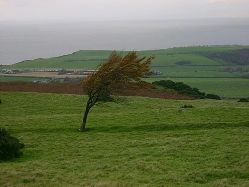
Forecast numbers help you plan, but actual effect matters on the ground. Notice difficulty standing steadily, communicating, reading the map or keeping a hood in place. If a gust affects balance on broad safe ground, do not continue towards a narrow exposed section to see whether it gets worse.
There is no universal wind speed below which every person and path is safe. Direction, gusts, terrain, pack size and individual balance all matter. Avoid treating a published threshold as permission to proceed up to that exact number.
Take clothing and navigation breaks before exposure where possible. Choose a safe place without loose branches, unstable walls or cliff edges. Shelter from wind does not automatically mean shelter from lightning or flooding; judge the actual site and forecast together.
Look ahead to the return journey
A stream that was easy to cross on the way out may be harder later. The Met Office warns that watercourses can rise during a wet day. Prefer routes with suitable bridges when heavy rain threatens and never rely on being able to repeat an earlier crossing.
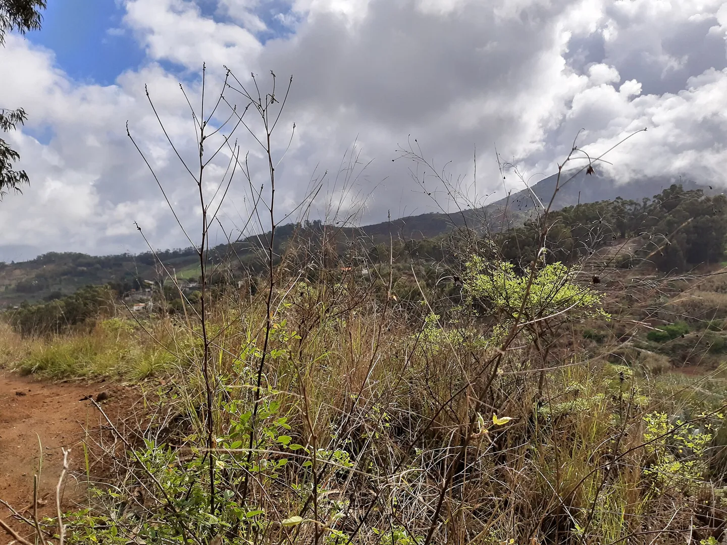
Watch how water is collecting on paths and how quickly ground is becoming slippery or boggy. Do not step into a flooded section simply because an online route description calls it easy. The description may have been written in different conditions.
Water carried for drinking is another planning issue. Our safe water guide explains why a clear-looking stream is not automatically a safe supply. Do not reduce the water you carry on the assumption that forecast rain will provide convenient drinking water.
Treat thunder as a reason to act
If thunderstorms are forecast for an exposed outing, reconsider the outing before departure. If thunder begins, follow the lightning safety guide and move towards appropriate shelter using a safe route. Do not remain on high ground to judge whether the next rumble sounds closer.
A tent, tarp or shallow overhang is not a substitute for suitable lightning shelter. Do not plan to solve a storm forecast by packing more cordage or a bigger waterproof sheet. Equipment choices must fit the hazard, and some conditions call for a different day.
Monitor people and time together
Ask how everyone is doing at checkpoints. Cold fingers, increasing fatigue, wet layers and reduced concentration can make an otherwise familiar path harder. Someone who becomes unusually quiet may need a direct question rather than an assumption that they are enjoying the view.
Compare actual progress with the plan early enough to change it. If the first leg takes longer, do not assume everyone will recover the time on the descent. Downhill movement can be slow on wet or uneven ground, and a tired group may need longer breaks.
Mountain Rescue England and Wales advises being willing to turn back when conditions deteriorate. Put that into practical language for the group: we will use the lower return now because visibility is dropping and the next leg has no easy exit.
A change of plan in the Peak District
Imagine a group starting a modest circular walk with an optional high loop. The forecast mentions low cloud later and increasing rain. At the junction before the climb, the high path is already disappearing from view and the first leg has taken longer than expected.
The useful decision is to take the known lower route while it remains clear and suitable. The group checks that this alternative avoids the stream crossing affected by rain. They tell their home contact about the change when communication is available and keep enough time for the return.
They have not predicted the weather perfectly. They have noticed that the conditions needed for the optional loop are absent. That distinction removes the temptation to continue merely to prove that the forecast was too pessimistic.

Full image attribution
Firgas, Gran Canaria, muddy hiking trail.jpg — Gerda Arendt; CC BY-SA 4.0. Resized and converted to WebP; source: https://commons.wikimedia.org/wiki/File:Firgas,_Gran_Canaria,_muddy_hiking_trail.jpg
A walking weather check
- Read a current forecast for the actual area and height.
- Identify uncertainty and the return-period conditions.
- Choose safe alternatives before leaving.
- Check visibility, wind and ground at the start.
- Reassess before exposed or hard-to-reverse sections.
- Ask the whole group about comfort and confidence.
- Compare actual progress with daylight and escape options.
- Turn back or change route before options disappear.
- Use the outdoor help procedure if you cannot continue safely.
Questions people ask
Can I learn to forecast by watching clouds?
You can learn useful observations, but they do not replace professional forecasts. Use cloud changes to prompt a fresh decision about visibility and shelter. Avoid claiming an exact arrival time or safe window from one visual sign.
Does no warning mean the walk is safe?
No. A route can be unsuitable for your group's skills or equipment without a national warning. Read specialist forecasts and assess the ground, exposure and return options.
What if the forecast looks better halfway through?
A genuine improvement may support the planned route, but extending the day introduces new timing and communication decisions. Check remaining daylight, energy and the whole alternative before adding distance. A glimpse of sun does not erase earlier delays.
Sources
Research checked on 2 November 2026. These sources support the safety points; examples and planning worksheets are original editorial guidance.