
On this page
- Define the whole day first
- Study the area around the line
- Divide the walk at meaningful checkpoints
- Build timing from the group and ground
- Set a turnaround decision before the difficult section
- Check alternatives as carefully as the main route
- Leave the plan with someone who understands it
- An example without a fictional route promise
- Connect the plan to practical supplies
- Before departure
- Questions people ask
- Sources
A useful route card answers the questions that become awkward when a walk goes slowly. Where should we be by now? Which return is still suitable? Who knows our plan? Writing those answers before departure reduces the amount of decision-making needed when the group is wet, tired or uncertain.
You do not need an elaborate expedition form for every local stroll. Match the detail to the route's difficulty and remoteness. For an unfamiliar hill walk, however, a saved line on a phone is not enough. It describes a route but may say nothing about timing, alternatives or the person waiting for your return.

Full image attribution
Fingerpost at start of Capenhurst Lane to Chapel Lane footpath.jpg — Rodhullandemu; CC BY-SA 4.0. Resized and converted to WebP; source: https://commons.wikimedia.org/wiki/File:Fingerpost_at_start_of_Capenhurst_Lane_to_Chapel_Lane_footpath.jpg
Define the whole day first
Start with the people, date, start point and intended finish. Include travel time, parking or public transport constraints and the last practical return connection. A route that fits between sunrise and sunset may still be unsuitable if the only bus leaves before you can reach it.
Choose the walk for the actual group. Ask about recent experience on similar distance, ascent and ground. Someone who regularly walks on level streets may still be new to steep, muddy descents. Do not convert a person's confidence into an assumed pace.
Mountaineering Scotland recommends considering weather, party skills, terrain and equipment together. Use those factors to decide the route before calculating an attractive finish time. A detailed card cannot make an unsuitable route suitable.
Study the area around the line
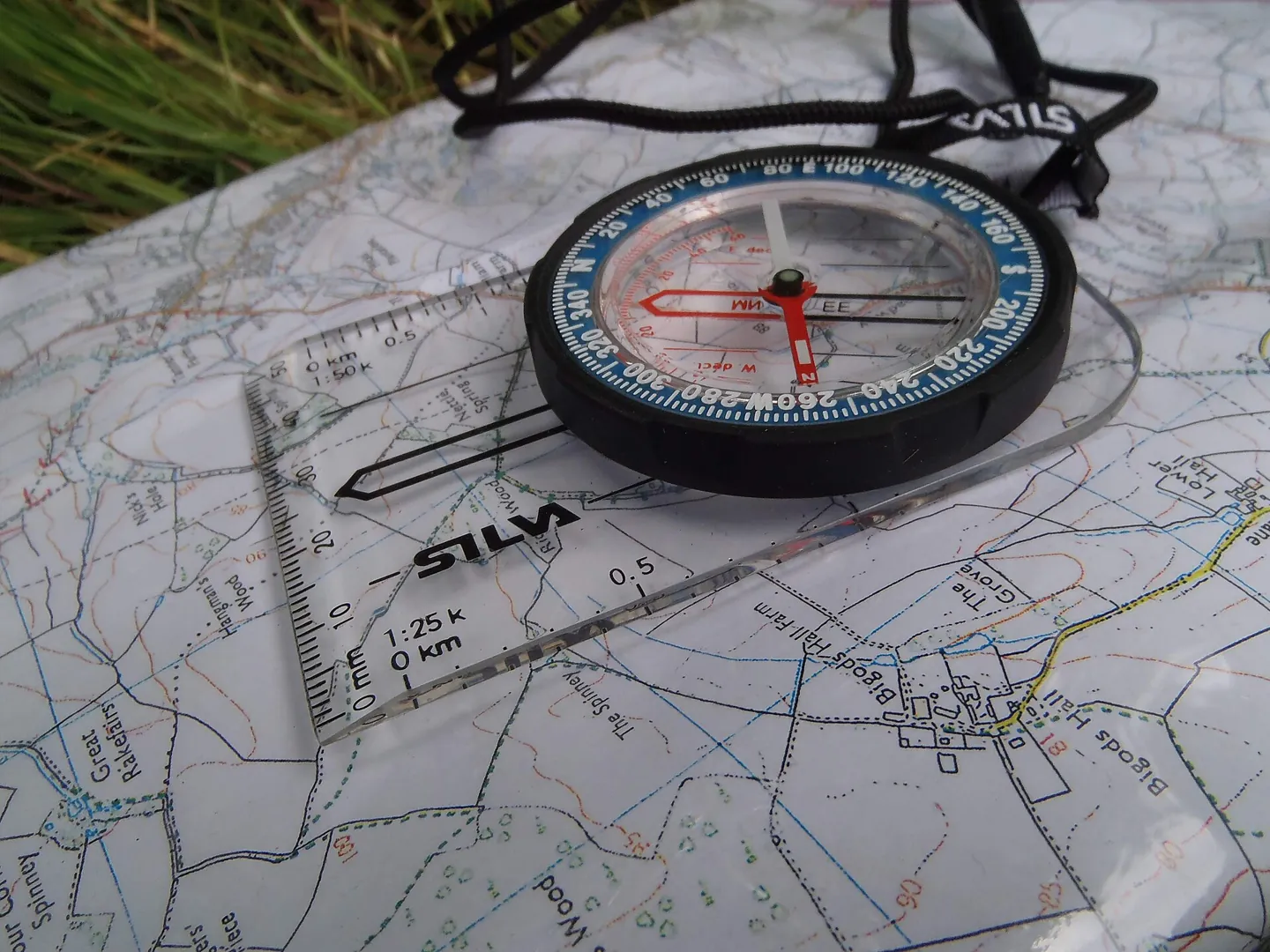
Open a suitable walking map covering the main route and alternatives. Identify paths, steep ground, watercourses, woodland and road access. Read the contours and map key. Check current access restrictions or closures where relevant rather than assuming an old online description is still accurate.
Learn the basics through map and compass practice. This guide assumes you can identify the proposed route on the map. If you cannot, choose easier ground or seek instruction before relying on a card copied from somebody else's trip.
A route needs space around it. Download enough mapping to inspect an alternative, not just a narrow strip along the planned line. Carry a suitable non-phone navigation backup and know how to use it. A printed screenshot without scale, contours or surrounding features may be too limited.
Divide the walk at meaningful checkpoints
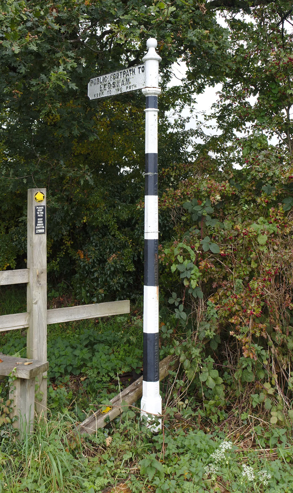
Choose places you can recognise and where a decision can happen safely: a named junction, a bridge, a broad col or a track meeting. Avoid making a cliff edge the only checkpoint simply because it is prominent. Mountaineering Scotland's route-following guidance links useful features with hazard avoidance.
Each leg should have a start, finish and expected character. Note a climb, rough section or crossing that affects timing. Add an identifiable feature that tells you that you have gone too far where appropriate. The point is to recognise progress, not produce the largest possible number of rows.
| Field | What to write |
|---|---|
| Leg and checkpoint | Named start and finish features with usable map references. |
| Distance and ascent | Measurements from the actual route, including bends and climbs. |
| Ground and hazards | Rough paths, crossings, exposure or navigation difficulty. |
| Time allowance | Walking estimate plus realistic stops and a margin. |
| Decision | Conditions that mean using an alternative or returning. |
| Alternative | A studied route with its own hazards and destination. |
Build timing from the group and ground
Estimate each leg using recent experience on comparable terrain or an appropriate planning method you understand. Include ascent and the effect of rough ground. Do not assume every downhill kilometre is faster than the ascent. Mud, stones and tired knees can make descent slow.
Add time for food, water, clothing adjustments, navigation and ordinary breaks. Keep these separate from the walking estimate so you can see the assumptions. If a route app offers a predicted duration, ask whether it includes the things your group will actually do.
Use a range rather than false precision where conditions are uncertain. A note saying roughly forty to fifty minutes on good ground is more honest than a finish time calculated to the minute from an untested pace. Your final decision time can still be clear even when the underlying estimate is approximate.
Allow enough margin that a delayed start does not immediately consume the whole reserve. If parking takes longer or a bus arrives late, revise the route before walking. Do not preserve the original objective by silently removing every break from the day.


Full image attribution
Fossil wristwatch with white background.jpg — Cvmontuy; CC BY-SA 4.0. Resized and converted to WebP; source: https://commons.wikimedia.org/wiki/File:Fossil_wristwatch_with_white_background.jpg
Set a turnaround decision before the difficult section
A turnaround time is useful only if turning back remains feasible at that point. Place the decision before the exposed ridge, long crossing or descent that commits you to a distant exit. Once you have passed the last easy alternative, a clock alarm alone may not help.
Work backwards from the time you need to reach the safe finish, allowing for the slower credible return, stops and changing conditions. Record the assumptions. If weather or pace changes, bring the decision forward. Do not keep extending the deadline because the summit seems close.
Use weather observations alongside time. The card might say to use the lower return at a junction if cloud obscures the next section, the group is uncomfortable or the checkpoint is reached after the agreed time. Any one condition can be sufficient.
Explain this to everyone before starting. Invite a person to say they want to stop without having to prove a medical emergency. A group agreement is more useful when it gives the least confident walker a straightforward way to change the plan.
Check alternatives as carefully as the main route
A shorter line on the map may cross a river, steep slope or unfamiliar forestry. Study the whole alternative, including where it ends and how you get home from there. A route that reaches a road is incomplete if that road has no safe walking space or onward transport.
Record which alternatives remain useful in bad weather. A stream crossing may be acceptable in dry conditions but unsuitable after heavy rain. A low route is not automatically safe from flooding, and a woodland route may introduce falling-branch risk in strong winds.
If the only practical alternative is returning along the known path, say so plainly. Do not invent several exits to make the card look comprehensive. The number of options matters less than whether the group can recognise and use them safely.
Leave the plan with someone who understands it
Mountaineering Scotland advises leaving route, return, vehicle, clothing and phone details with a trusted person. Confirm that they have received the information and can act. Sending a message to someone about to board a long flight does not establish a reliable contact.
Agree a return check-in and an overdue procedure. The contact should know whom to try, what information to gather and when to seek help. Avoid a universal waiting period: seriousness depends on weather, route, the people involved and any messages received.
For a genuine mountain emergency, call 999 or 112 and ask for Police then Mountain Rescue. For non-emergency concern about an overdue walker, Mountaineering Scotland identifies the police number 101. If the circumstances suggest danger and rescue may be needed, use 999 or 112 rather than treating the situation as a routine late return. The outdoor help guide explains incident communication. Do not make someone wait until an arbitrary deadline if they have evidence of immediate danger.
Tell the contact about meaningful route changes when communication allows. If you cannot update them, consider how far a change moves you from the information they hold. Keep deviations conservative rather than turning the day into an unannounced exploration of another valley.
An example without a fictional route promise
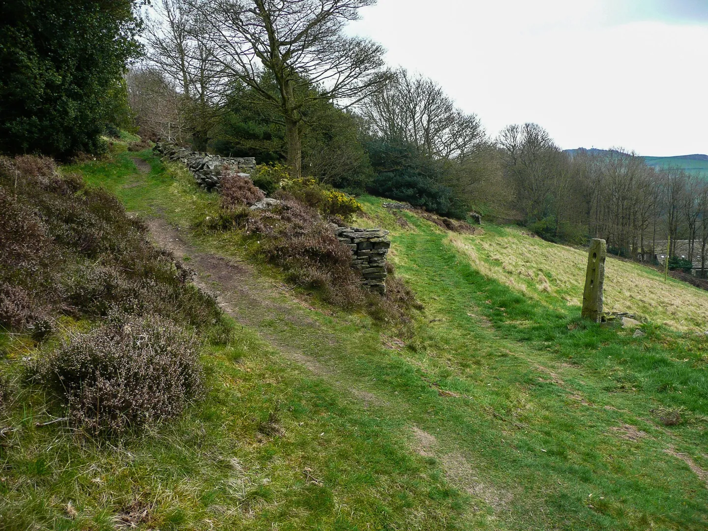
Imagine planning a circular walk with a high extension. The group can use a lower path from a junction before the climb. You measure both routes on the map and estimate the return based on the group's recent pace, adding time for a break and uncertain ground.
The card names the junction as the decision point. At that point, you compare actual progress, cloud and everyone's comfort with the assumptions. If the high section no longer fits, you use the checked lower route. You do not need to calculate how fast everyone would have to walk to rescue the original plan.
The home contact has both options and the expected check-in. When the group finishes, someone sends a clear message that everyone is safely off the route. A photograph from the final viewpoint is not as useful as an explicit completion message.

Full image attribution
Footpath junction on Staups Common - geograph.org.uk - 6796970.jpg — Humphrey Bolton; CC BY-SA 2.0. Resized and converted to WebP; source: https://commons.wikimedia.org/wiki/File:Footpath_junction_on_Staups_Common_-_geograph.org.uk_-_6796970.jpg
Connect the plan to practical supplies
Use the route's duration and conditions to plan food, water, clothing and lighting. The safe water guide explains why a mapped stream should not be treated as an assured drinking source. Include enough capacity for the planned day and reasonable delays.
Keep the route card readable in rain. A waterproof case, pencil and spare copy can be useful, but avoid burying them beneath the whole pack. Share essential navigation knowledge so the group is not dependent on one person being able to operate one phone.
First-aid training supports the plan when something goes wrong. Use the UK first-aid learning guide to find appropriate instruction. A route card is a communication aid, not medical competence or a promise that help will arrive quickly.
Before departure
- Confirm the route suits the actual group and forecast.
- Read the wider map and current access information.
- Choose recognisable checkpoints before difficult sections.
- Estimate distance, ascent, walking time and stops.
- Write clear turnaround conditions and a time decision.
- Study each alternative and its onward transport.
- Leave the plan with an available, reliable contact.
- Agree the check-in and context-sensitive overdue procedure.
- Carry readable mapping and suitable supplies.
- Send an explicit completion message after returning.
Questions people ask
Do I need bearings on every route card?
Only include navigation information you understand and can use appropriately. Bearings can be useful in a trained navigation process, but copying numbers does not establish that the ground is safe. Learn the skill on suitable terrain first.
Can my contact just follow live tracking?
Tracking may stop because of battery, coverage or settings. Share the intended route and overdue procedure as well. A stationary dot needs context, and an absent dot is not a complete description of an emergency.
What should I change after a slow walk?
Compare actual leg times with your assumptions and identify the causes. Adjust future planning for the same group and similar ground. Do not simply deduct every stop from the record to create a faster pace that nobody can sustain through a real day.
Sources
Research checked on 2 November 2026. These sources support the safety points; examples and planning worksheets are original editorial guidance.