
On this page
- Make the next minute safer
- Check people before arguing over the map
- Rebuild your position from the last certain point
- Choose whether movement is justified
- Call when you cannot continue safely
- If the phone cannot connect
- Turn waiting into an organised task
- A wrong descent in low cloud
- Check equipment before your next walk
- A pocket reminder
- Common questions
- Sources
Make the next minute safer
A junction is missing, the path has disappeared or the hillside is steeper than the map suggested. Say that you are unsure and stop. You do not need to prove that you are completely lost before checking. The earlier you recognise uncertainty, the shorter the piece of route you have to reconstruct.
First look at where you are standing. Move only the short distance needed to escape an immediate hazard, if you can do so safely. Stay away from a cliff edge, unstable bank, stream channel or exposed road. Do not wander in search of a perfect stopping place. Bring everyone together, put on spare layers before getting cold and protect the map and phone from rain.
This guide concerns the decisions after a navigation problem has begun. The separate map and compass guide covers the skills to practise beforehand. Reading a bearing tutorial for the first time while tired in cloud is a poor substitute for knowing where you are.

Full image attribution
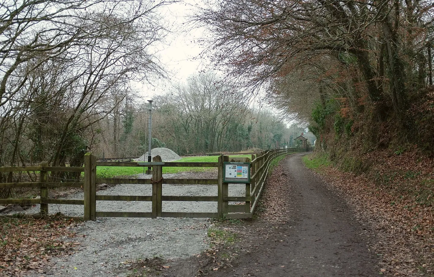
Camel Trail at Boscarne Junction - geograph.org.uk - 5421566.jpg — Derek Harper; CC BY-SA 2.0. Resized and converted to WebP; source: https://commons.wikimedia.org/wiki/File:Camel_Trail_at_Boscarne_Junction_-_geograph.org.uk_-_5421566.jpg
Check people before arguing over the map
Ask each person how they are doing. Someone may have been hiding a painful ankle, exhaustion or cold hands to avoid slowing the group. Check that everyone can respond normally and move safely. Confusion or unusual clumsiness should change the seriousness of the situation, even if the route itself appears manageable.
Record practical facts: current time, available daylight, phone charge, water, spare clothing and whether anyone needs medication or assistance. The question is whether this particular group can get to safety in the actual conditions. A route that a fit walker could finish on a dry afternoon may be unsuitable for a cold child or an injured companion after dark.
Choose one person to gather navigation information and another, where numbers allow, to attend to the group's comfort. Invite observations without turning them into competing votes. Confidence is not evidence. A quiet person who remembers crossing a bridge may have more useful information than somebody who insists that all paths lead down.
Rebuild your position from the last certain point
Start with the last location you could positively identify. Name the feature and when you passed it. A signed junction, recognisable bridge or confirmed summit is stronger evidence than a vague memory of a bend. Work forwards through what happened next, including stops and turns. Do not begin by choosing where you would like to be.
Compare the map with several observations. Is the ground rising or falling? Is the stream on the expected side? Does the shape of the valley fit? In clear conditions, large features may help; in cloud, acknowledge what you cannot see. Avoid walking towards a speculative landmark simply to make it easier to recognise.
A phone location can help if the mapping is available and the device has obtained a current fix. Check that you are viewing your position rather than a saved pin, planned route or previous location. Read the displayed accuracy if the app provides it. A point near two parallel paths does not prove which path you occupy.
Ordnance Survey explains four- and six-figure grid references. Use the grid system shown on your actual map, and tell a call handler which app or map you are reading. Keep an uncertain estimate clearly labelled as uncertain. A confidently invented reference can send attention to the wrong valley.
Choose whether movement is justified
| Situation | Useful decision | Reason to stop the attempt |
|---|---|---|
| A recent wrong turn is identified | Consider returning along the known, safe section | You cannot recognise the way back or conditions have changed |
| Location confirmed, route unsuitable | Assess a mapped alternative within the group's ability | The alternative introduces steep ground, water or unfamiliar winter terrain |
| Location remains uncertain | Stay safe, review information and seek help if safety is threatened | Walking would be based on a guess |
| Someone cannot move safely | Shelter and request emergency assistance | Do not turn evacuation into an improvised carrying experiment |
Retracing is sensible only when you know what you are retracing. A rough path that was manageable uphill may be harder to descend. Crossing a stream earlier does not establish that it remains safe after rain. The river and flooded-path guide explains why the correct alternative may be a longer route or a call for assistance.
Do not adopt a universal rule to follow water downhill. Streams can lead into gorges, waterfalls and steep vegetation. Nor does a straight line to a road establish a walkable route. Keep the whole journey in view, including what lies between your present position and the destination.


Full image attribution
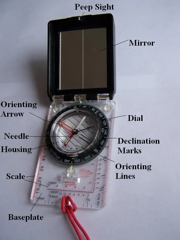
Compass.JPG — Jedwardo ( talk ); Public domain. Resized and converted to WebP; source: https://commons.wikimedia.org/wiki/File:Compass.JPG
Call when you cannot continue safely
A mountain emergency can involve being lost in dangerous conditions without a physical injury. If position uncertainty, terrain, weather or the group's condition prevents safe progress, seek emergency help. Do not wait for a minor problem to become a medical emergency because you feel embarrassed.
For mountain assistance, Mountain Rescue England and Wales instructs callers to dial 999 or 112 and ask for Police, then Mountain Rescue. Give your location as accurately as possible, explain what has happened, state the number of people and any injuries, and provide your phone number. Say plainly if your position is uncertain.
The same Police and Mountain Rescue request is given by Mountaineering Scotland. In Northern Ireland, Mourne Mountain Rescue also directs callers through 999 and Police. The local team and arrangements differ, so give the country and location clearly. For an emergency on the coast or coastal cliffs, call 999 and ask for Coastguard. Describe the terrain and problem if you are unsure which service is needed.
Separate what you know from what you infer. For example, explain that you left a named bridge an hour ago and believe you are north of it, rather than presenting the belief as a confirmed location. Describe distinctive surroundings and any signs. Answer the questions asked rather than trying to deliver a rehearsed speech while the operator is speaking.
Once contact is established, follow the rescue team's instructions and remain at the agreed location. Tell them about an immediate threat that could require movement. Do not silently relocate to another valley because a new path looks promising. Keep the phone available for their return call and explain if charge is low.
If the phone cannot connect
Try the emergency call from your safe position. A failed ordinary call is not a reason to assume an emergency call cannot connect, but no method can guarantee coverage. Avoid climbing exposed ground or separating the group to chase a signal. Assess the consequences before moving, especially where the map is uncertain.
The registered emergencySMS service may be useful when a voice call cannot be made. Mountaineering Scotland says registration is required beforehand. Learn the current registration process at home and complete its confirmation steps. Sending an ordinary text to a friend is not the same as contacting emergency services, and a sent message does not prove that help has been dispatched.
If you carry a satellite communicator or beacon, know its activation procedure, service requirements and limitations before departure. An unfamiliar device at the bottom of a bag adds another problem. Keep a whistle and torch accessible too; read outdoor signalling methods while preparing your kit.
Turn waiting into an organised task
Use the shelter you have, including insulation between people and the ground. Keep faces and shelter vents clear. Fuel-burning stoves, candles and heaters have no place inside a bivvy or group shelter. The separate emergency shelter guide covers equipment limitations and a safe practice routine.
Make a short log of changes in condition, calls and instructions. Check quieter members of the group rather than assuming silence means comfort. Share ready-to-eat food and drinking water where appropriate, and use first-aid skills within your training. Our UK first-aid learning guide can help you choose practical instruction for future trips.
Protect phone charge by closing unnecessary activities and keeping the device dry. Do not switch off the only phone the rescue team is trying to call. Agree communication arrangements with them. Avoid repeated social-media updates or asking multiple friends to ring repeatedly, which can occupy the line and drain power.

Full image attribution
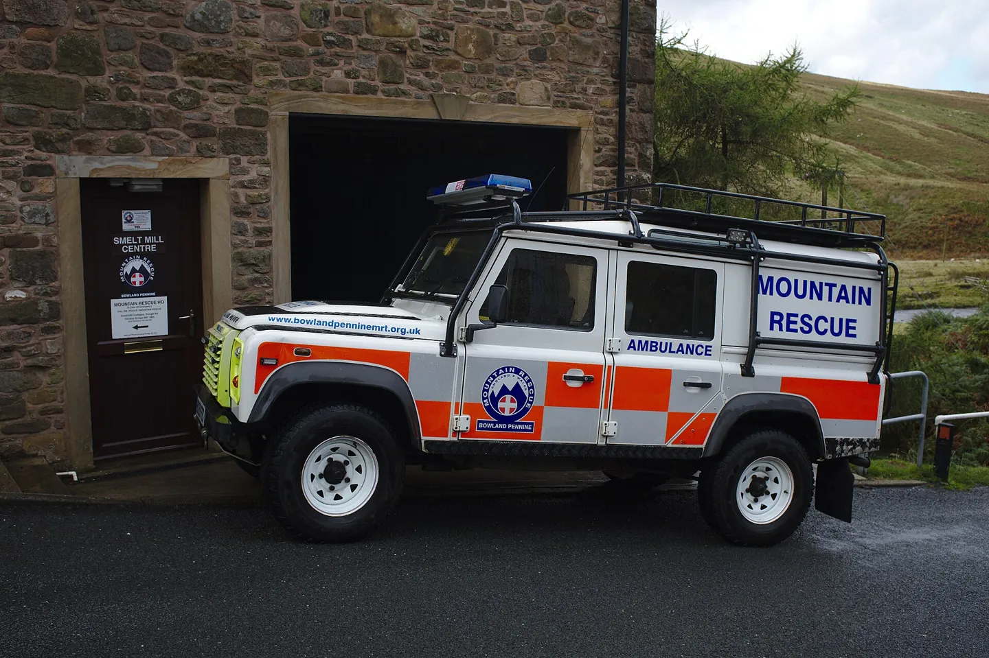
Mountain rescue vehicle (geograph 6005228).jpg — Bob Harvey; CC BY-SA 2.0. Resized and converted to WebP; source: https://commons.wikimedia.org/wiki/File:Mountain_rescue_vehicle_(geograph_6005228).jpg
Plan water before departure using safe water on UK walks. An uncertain stream is not a dependable refill during a navigation delay.
A wrong descent in low cloud
Consider a fictional group on a Lake District walk. They expect a broad path beside a wall but reach a steep, narrow gully. One walker believes it must lead to the car park. Another remembers passing an unmarked fork. The safe first action is to stop above the gully, gather the group and assess the map.
If the fork and the return route can be established safely, retracing may solve the problem. If they cannot, the absence of an injury does not make descending the gully sensible. A cold companion, failing daylight and uncertain ground are reasons to seek assistance while they can still give a clear account of their situation.
Afterwards, review the missed decision point without blaming one walker. Was the map inaccessible? Had the group stopped checking junctions? Did an ambitious return time discourage questions? Choose one change for the next walk, such as checking position before every descent. More equipment will not correct a habit of ignoring contrary evidence.
Check equipment before your next walk
In advance, check that your headtorch works, your whistle is reachable and you can use your map and compass together. Practise on familiar ground in good conditions. Equipment helps only when the group knows where it is and how to use it; buying it does not settle a current navigation emergency.
A pocket reminder
- Stop before uncertainty becomes an uncontrolled descent.
- Bring the group together and check condition, clothing and daylight.
- Identify the last certain point and distinguish facts from guesses.
- Move only on a route you can justify as safe for this group.
- Call for mountain help when you cannot proceed safely.
- Keep the phone available and follow the rescue team's instructions.
Common questions
Should I always stay still if I am lost?
First make the immediate position safe. A clearly identified, safe return along a recent section may be appropriate before contacting rescue. Once rescuers are involved, follow their instructions and keep them informed of any necessary movement.
Does a GPS dot mean I can walk straight to the road?
No. Location and route safety are different questions. The ground between you and the road may include cliffs, rivers, fences or terrain beyond your ability.
Should our strongest walker go for help?
Do not automatically split the group. That person may become lost too, while others lose shelter, navigation or support. Use available communications and assess the actual circumstances with emergency services where contact is possible.
Can I rely on a passing walker?
They may provide useful information, but ask how they know the route. Someone following the same incorrect assumption is not independent confirmation. Keep your own map, communication and decision-making available.
Sources
- Mountain Rescue England and Wales: In case of emergency. Checked 2 November 2026.
- Ordnance Survey: Quick guide to grid references. Checked 2 November 2026.
- Mountaineering Scotland: Calling for help. Checked 2 November 2026.
- Mourne Mountain Rescue Team: Emergency callout instructions. Checked 2 November 2026.
- HM Coastguard: Coastal safety. Checked 2 November 2026.