
On this page
- Start with the route's lowest point
- Read the correct tide information
- Do not turn high tide into a universal deadline
- Make a simple coastal route card
- Recheck at the coast
- Keep the exit in the plan while exploring
- If you are cut off or becoming trapped
- A late start on a beach-and-cliff circuit
- Common questions
- Sources
Start with the route's lowest point
Coastal walks often combine a cliff path, steps and a beach section. The whole walk may depend on one low stretch beside a headland. That stretch can disappear under water while most of the beach still looks open. Identify the part that controls your access before looking for a convenient departure time.
Draw the route on a current map and mark each beach entry, exit, channel, headland and tidal crossing. Check whether every apparent exit is a maintained public route. A line worn into a cliff is not necessarily a safe path, and a private staircase may not provide usable access.
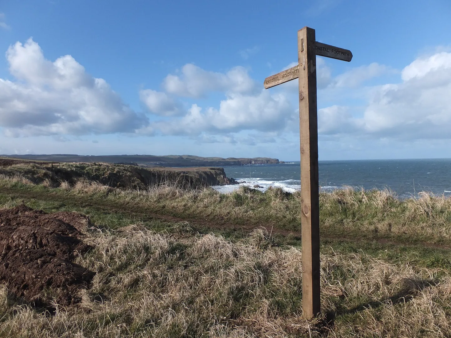
The RNLI warns that water can block the return around rocks or into a neighbouring cove. Walking farther up the beach may not solve the problem. A steep cliff can leave no route inland at all.

Full image attribution
Coastal Footpath Sign - geograph.org.uk - 3366539.jpg — Barbara Carr; CC BY-SA 2.0. Resized and converted to WebP; source: https://commons.wikimedia.org/wiki/File:Coastal_Footpath_Sign_-_geograph.org.uk_-_3366539.jpg
Read the correct tide information
Find tide predictions for the actual coastal location and date. A nearby port may be the published reference, but do not invent a time adjustment for a different bay. Use the local authority, harbour, land manager or another authoritative service that explains the area it covers.
Confirm what the times mean. Some tables use local clock time, others specify a time standard. Check the page rather than automatically adding an hour in summer. Hastings Borough Council explicitly states that its predictions use local time and adjust for British Summer Time. Other publications must be checked on their own terms.
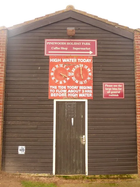
Look at both times and heights. A sequence of days does not repeat at the same clock time, and the extent of exposed shore can change. Read the date heading carefully when using a screenshot. An image sent by a friend may show yesterday's information or another location.
Before leaving reception, check the tide information you will carry:
- Confirm the selected location and date, including in any app.
- Save a dated offline copy with the source and place name visible.
- Keep times, heights and the stated time standard together.
- Ask a companion to check the reference information against your route.
A tiny cropped image containing only two numbers is difficult to verify and easy to confuse with another location.
Do not turn high tide into a universal deadline
High tide describes a predicted water-level maximum at the reference location. It does not tell you when a particular causeway, rock shelf or channel becomes impassable. There is no general rule that every coastal route is safe for a fixed number of hours either side of low tide.
The Met Office explains that the tide does not rise and fall at a steady rate. A narrow channel can fill behind you while the water in front appears distant. Watching only the open sea misses the way water enters across the beach.
Where a council or site operator publishes crossing windows, follow the exact route and conditions covered. A road causeway timetable must not automatically be applied to a separate walking line across sand or mud. If the local advice is unclear, choose a route that avoids the tidal section or use a qualified local guide where appropriate.
Weather also matters. Wind, waves and unusual water levels can make a normally accessible section hazardous. A tide table does not overrule a closure or a warning sign. Our weather-warning guide explains how to read the wider forecast; local observations still matter once you arrive.
Make a simple coastal route card
| Entry | What to write | What it prevents |
|---|---|---|
| Location and date | Exact place and day of travel | Using a neighbouring beach or yesterday's table |
| Tide source | Official page, times, heights and time standard | Unexplained screenshots and clock errors |
| Route-specific restriction | Local access window or advice for this route | Treating low tide as general permission |
| Exit points | Verified steps or paths and their locations | Assuming a cliff can be climbed |
| Turnaround decision | Time and visible conditions that end the attempt | Using the whole available window on the outward walk |
| Alternative | Inland route or different walk | Pressure to continue after a late start |
Allow for the slowest walker, soft sand, slippery rocks, stops and the return journey. Work backwards from the time you need to be off the dependent section. Then decide whether the outward walk still fits comfortably. If the plan works only with perfect pace and no delay, choose something else.
Arrange transport so it supports the safety decision. A last bus or paid parking expiry can encourage rushed choices. Identify a safe alternative collection point and the realistic consequences of missing transport. A late return to the car is a smaller problem than trying to beat water around a headland.

Full image attribution
Wells-next-the-Sea, tide guide - geograph.org.uk - 1605358.jpg — Chris Downer; CC BY-SA 2.0. Resized and converted to WebP; source: https://commons.wikimedia.org/wiki/File:Wells-next-the-Sea,_tide_guide_-_geograph.org.uk_-_1605358.jpg
Recheck at the coast
Read the current signs, look for closures and identify the actual access you intend to use. Compare the scene with your plan. If the steps have been damaged or a beach entrance is closed, the route must change even if the tide calculation was correct.
Ask local staff about the exact section you plan to walk. A broad assurance that "the beach is fine" may refer only to the main bathing area. Explain the headland, causeway or cove you intend to visit and the return route. Local knowledge is most useful when the question is specific.
Check the group before committing. Someone who is tired, unwell or uncomfortable on rough ground may not manage the assumed pace. Shorten the walk before reaching a place with only one exit. For ordinary navigation preparation, review map and compass basics.
Keep the exit in the plan while exploring
At each new cove or headland, stop and reassess. Note the time, the return distance and whether water is entering channels behind you. Do not let a sequence of small extensions turn a short exploration into a route you never assessed.
Keep children close enough to supervise directly and dogs under control. Do not assume another family on the beach has checked the tide. Their destination, start point or transport may be different. Nor is a group ahead proof that the section beyond them remains open.
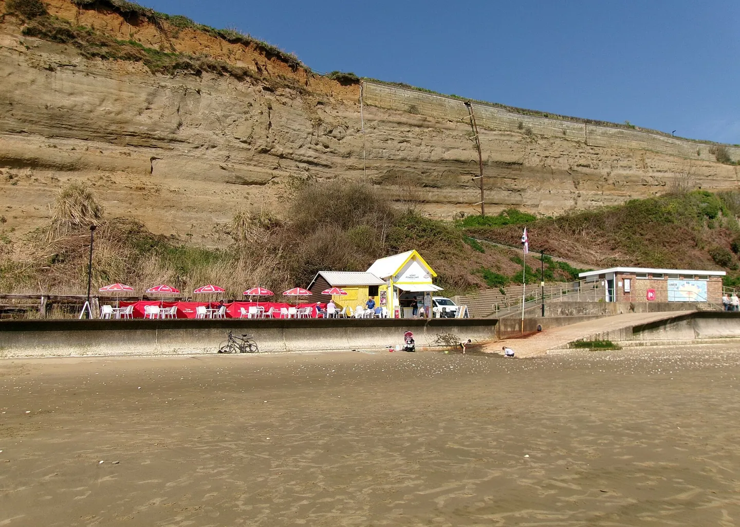
HM Coastguard advises staying clear of cliff edges and bases and using signposted coastal paths. Keep away from unstable rock, do not climb cliffs as a shortcut and avoid following informal tracks down to a beach. A route that removes a tidal hazard but introduces a dangerous cliff descent is not a useful alternative.
Carry food, drinking water, suitable clothing and a charged phone protected from water. Our walking water guide can help with supplies, while emergency shelter planning covers an unplanned wait. Equipment does not extend a safe crossing window.
If you are cut off or becoming trapped
Do not wade, swim or scramble around a narrowing headland to save the original route. Move to the safest available position if you can do so without entering the water or climbing dangerous ground. Call 999 and ask for Coastguard. Explain that the tide is cutting off your route, rather than waiting until water reaches you.
Give the beach or cove name, nearest access point and your position relative to recognisable features. State how many people are with you, whether anyone is injured, and whether the water is rising around your position. A map reference or phone location can help, but say if the name or position is uncertain.
Follow the call handler's instructions and keep the phone available. Do not move to another cove without explaining the change. Stay clear of cliff bases where possible and do not enter caves as a default refuge; their escape may also be affected by water. Rescue arrangements depend on the situation and should not be guessed from past news reports.
If someone or a dog enters the sea or falls from a cliff, call Coastguard and stay in a safe position. Do not attempt an improvised rescue. You can help by describing the location and keeping the casualty in sight where safe.

Full image attribution
Lake beach and cliffs, Isle of Wight, England (2).jpg — ITookSomePhotos; CC BY-SA 4.0. Resized and converted to WebP; source: https://commons.wikimedia.org/wiki/File:Lake_beach_and_cliffs,_Isle_of_Wight,_England_(2).jpg
A late start on a beach-and-cliff circuit
Consider a fictional walking pair on the south coast. Their planned circuit follows a beach below a headland and returns by a cliff path. A delayed train means they arrive much later than planned. They still have the same map and the same fitness, but less time before the beach section becomes doubtful.
The sensible adjustment is to use the maintained cliff route as an out-and-back walk, provided weather and closures permit it, or choose another destination. Walking the beach faster is not an adequate correction if the access information no longer supports the plan. A photograph of low water at the start does not demonstrate a safe return.
After the trip, keep notes that improve the next visit: which official page covered the location, where access signs stood and whether an alternative was practical. Do not turn one successful visit into a permanent timing rule. Recheck conditions for every visit.
Common questions
Can I use yesterday's tide time?
No. Use the correct date and location. Tide times and heights vary, and yesterday's beach access is not evidence of today's access.
Is a falling tide always safe?
No. Waves, weather, unstable ground and local channels can still make a route unsuitable. Follow route-specific advice and identify usable exits.
Should I wait until high tide before calling for help?
No. If you are trapped or becoming trapped and cannot reach safety, call 999 for Coastguard. High tide may be much later than the point at which your position becomes dangerous.
Can I apply a road causeway window to the sand beside it?
Only if the responsible authority explicitly says its advice covers that walking route. Otherwise treat it as a different route requiring its own local guidance.
What if the coastal path is flooded rather than the beach?
Use an open, safe alternative or turn back. The flooded-path guide explains why a mapped path under water is not a reliable crossing.
Sources
- RNLI: Tides. Checked 2 November 2026.
- Met Office: Beach forecast and tide times explained. Checked 2 November 2026.
- HM Coastguard: Coastal safety. Checked 2 November 2026.
- Hastings Borough Council: High and low tide times for Hastings. Checked 2 November 2026.