
On this page
- Treat water as a route decision
- Identify water dependencies before leaving
- Prepare an alternative that is actually usable
- Stop before the bank becomes the decision point
- Flooded towpaths deserve the same caution
- If your return route becomes blocked
- If a person or dog enters the water
- A familiar woodland circuit after heavy rain
- A short pre-walk checklist
- Common questions
- Sources
Treat water as a route decision
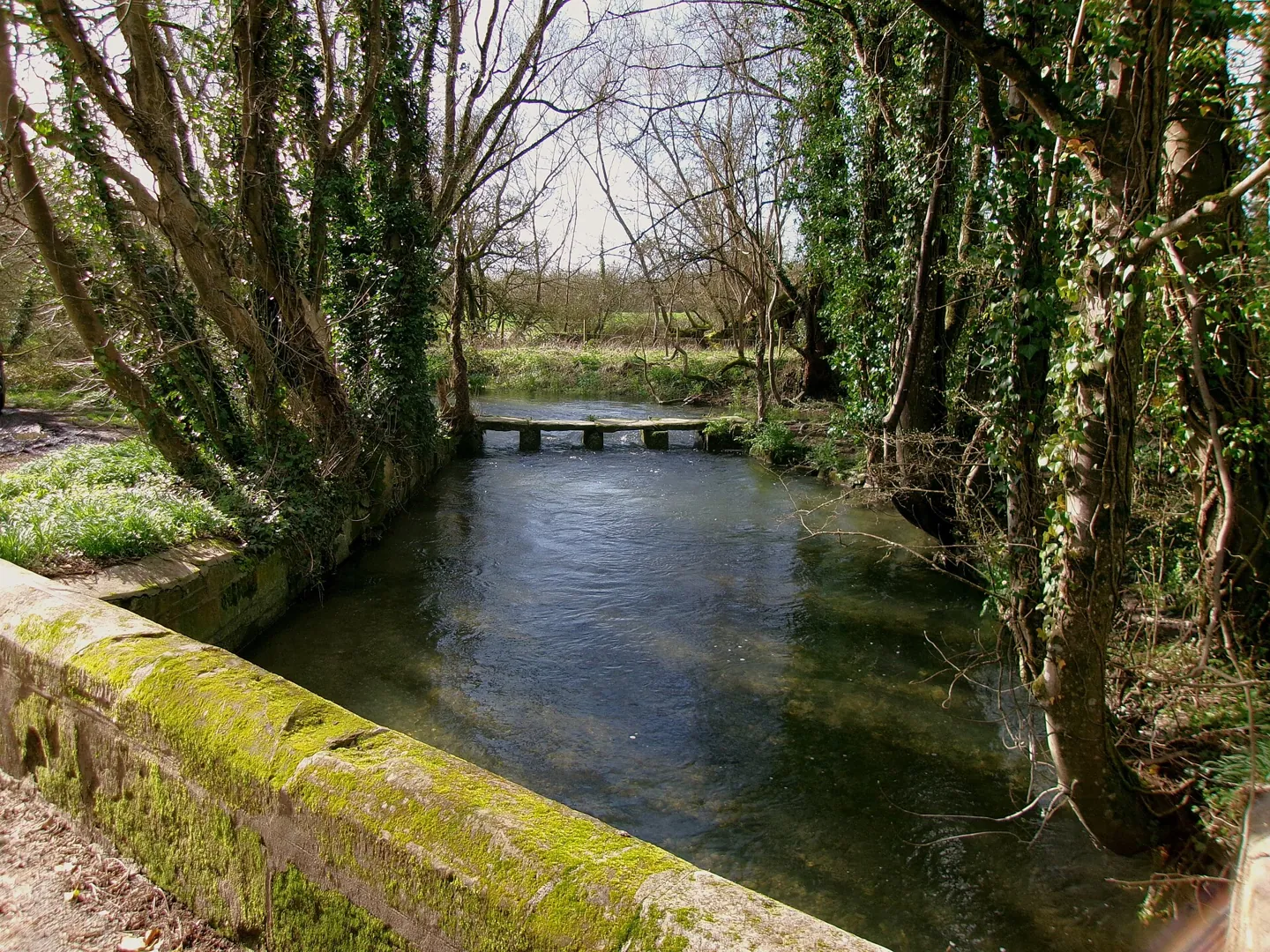
The path on the map may continue straight across a stream. On the day, the stepping stones are submerged and the bank is slippery. Your route has changed. The task is to find a safe alternative or stop, rather than to discover a technique that makes the original plan work.
This guide deliberately avoids wading methods, improvised ropes and instructions for testing a fast river. Those skills require specialist training and conditions beyond the scope of a general walking article. For ordinary UK walks, plan around safe bridges and routes that remain on your side of the water.
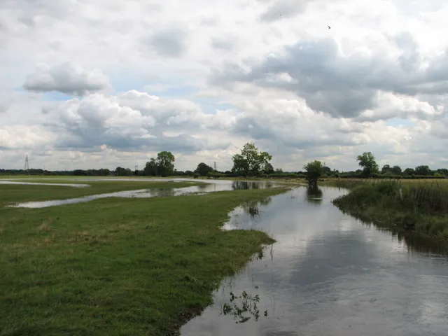
GOV.UK advises people not to walk, cycle or drive through floodwater. You cannot establish safety from the apparent depth at the edge. A submerged path can hide missing ground, drains or an abrupt drop into a channel. Staying dry is not the main issue.

Full image attribution
Flooded footpath - geograph.org.uk - 772346.jpg — Eric Foxley; CC BY-SA 2.0. Resized and converted to WebP; source: https://commons.wikimedia.org/wiki/File:Flooded_footpath_-_geograph.org.uk_-_772346.jpg
Identify water dependencies before leaving
Read the whole route on an appropriate map. Mark bridges, fords, stepping stones, low riverside sections and places where a stream must be crossed twice. A circular route can place a difficult crossing near the end, when retracing is longest. Notice that dependency while choosing the walk, not when daylight is running out.
Use the map key rather than guessing what a symbol means. A ford is not a bridge. A path line crossing a blue line does not promise a dry crossing. Read map and compass basics if these distinctions are unfamiliar, and choose an easier route until you can assess them confidently.
Check the recent weather as well as the day's forecast. Rain elsewhere in the catchment may affect a river below a clear sky. Review official flood information and local land-manager notices. England, Wales, Scotland and Northern Ireland use different flood services; start with the appropriate national authority and the route's local manager.
Published warnings have geographical and operational limits. The absence of a warning does not certify every small stream or footpath. The flood alert and warning guide helps interpret the messages, but your walking decision must also reflect the visible ground and current closures.
Prepare an alternative that is actually usable
Choose an alternative before you become committed to the riverbank. Look for an open, maintained bridge and a legal route to reach it. Check both approaches. A sound bridge is not helpful if a flooded meadow blocks one end or the only way there follows an unstable bank.
Recalculate the whole journey. Include the detour, remaining ascent, daylight, transport and the slowest person's likely pace. Avoid replacing a wet-path problem with a long road walk on a narrow unlit carriageway. The better alternative may be a shorter walk elsewhere or returning to the start.
| Original feature | Useful alternative | What to verify |
|---|---|---|
| Stepping stones | A route using an open bridge | Both approaches, extra distance and return transport |
| Low riverside path | A signed higher route away from the bank | Access, gradient and whether flooding affects the exit |
| Flooded towpath | A separate walking route | Closure notices and safe road crossings |
| Remote unbridged burn | A walk that stays on one bank | All later crossings and the route back |
| Damaged bridge | Return or a confirmed official diversion | No reliance on barriers, rails or debris as a crossing |
Leave both the main and alternative plan with your contact. State when you expect to return and how you will report a change if reception allows. A note saying only "walking by the river" gives little help if you become overdue. Keep the contact updated when a safe detour changes your destination.
Stop before the bank becomes the decision point
Pause on firm ground away from the edge. Keep the group together and prevent children or dogs from approaching while adults debate the route. You need room to turn around without balancing on a narrow, slippery strip beside moving water.
Look for closure signs, damaged surfaces, washed-out approaches, debris and changes in the water. Any of these can settle the decision to turn back without further investigation. Do not climb around a barrier for a closer look. A photograph taken from behind a closure may show an apparently intact bridge while concealing damage underneath.
The National Water Safety Forum warns that mud and leaves can hide slippery banks. Leave space from the edge on ordinary walks too. A river does not have to be in major flood for a fall to become dangerous.
Other walkers are not a safety assessment. They may have different abilities, equipment or information, or may simply have made a poor choice. Nobody in your group owes the others a crossing. Agree before setting off that one person's concern is enough to stop and review the plan.

Full image attribution
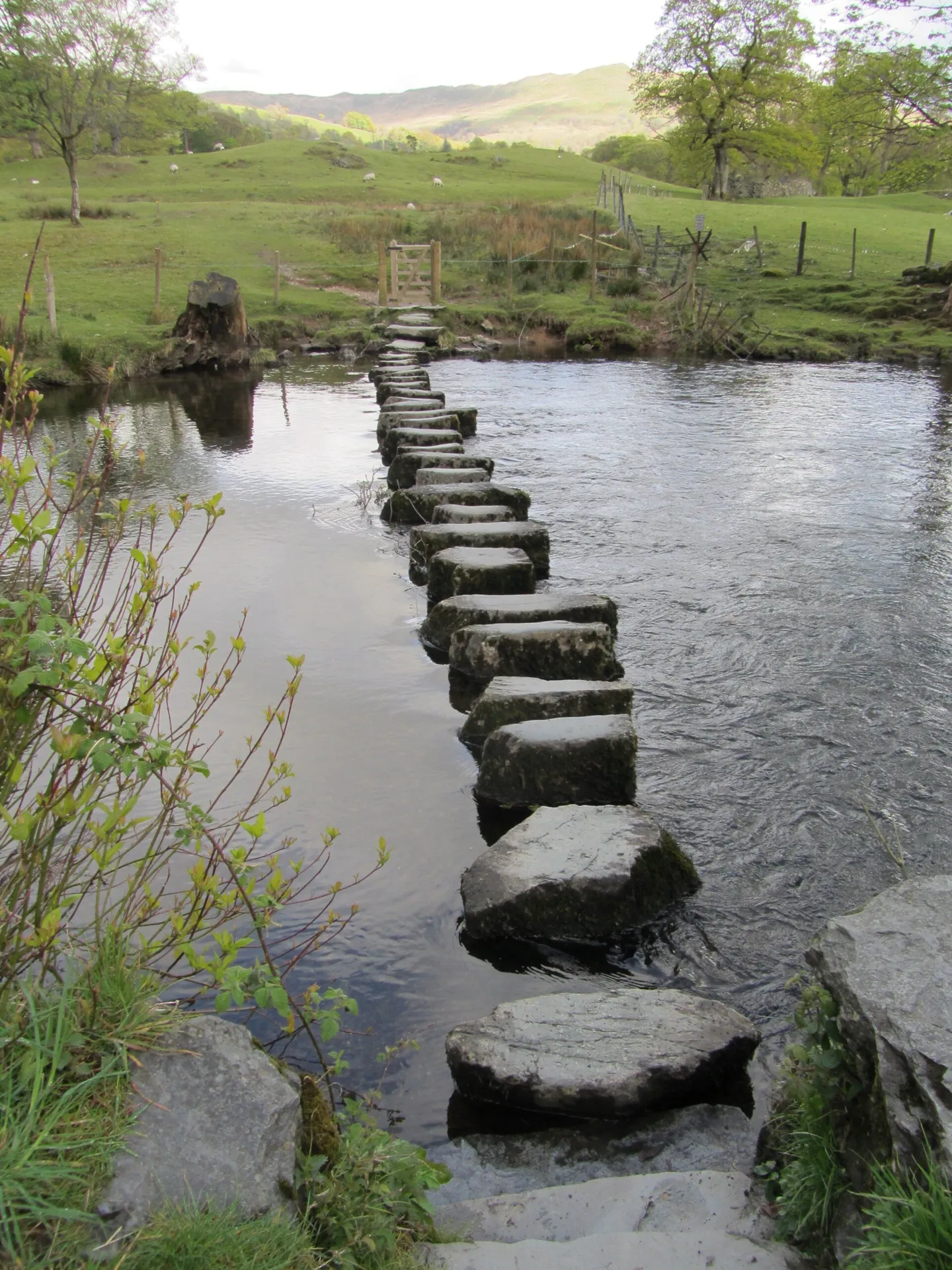
River Rothay stepping stones 120508w.jpg — Strobilomyces; CC BY-SA 3.0. Resized and converted to WebP; source: https://commons.wikimedia.org/wiki/File:River_Rothay_stepping_stones_120508w.jpg
Flooded towpaths deserve the same caution
Urban and lowland routes can feel familiar enough to encourage shortcuts. A towpath used for the school run may appear to have only a shallow covering of water. When the edge is invisible, however, it can be impossible to distinguish path from canal or river.
The Canal & River Trust advises finding another route if a towpath is flooded and checking stoppage notices. It also warns that flooding can damage the surface. A towpath's ordinary width and condition cannot be assumed under water.
Do not operate sluices, gates or other water-control equipment to improve access. Report concerns to the responsible authority. A structure may be set deliberately to manage water across a wider area, and changing it can create risks elsewhere. Keep well clear of weirs and locks when considering a diversion.
If your return route becomes blocked
Stop on safe ground and assess all known exits. Do not race to a crossing that is already worsening. Contact your planned support person if that can help with a safe collection from a reachable road, but do not let a promise of a lift pressure you into crossing unsafe water to meet it.
If rising water, exposure, injury or isolation creates an immediate danger, call 999 or 112. Explain the location, which side of the water you occupy and whether anyone is in the water. For a mountain emergency, ask for Police then Mountain Rescue. For an inland water emergency, describe it clearly so the operator can send the appropriate service; at the coast, ask for Coastguard.
A precise side-of-river description matters. Give a map reference or other location information without guessing. Describe the nearest accessible road or bridge only if known. Follow the operator's instructions and report changes. If you need help establishing your position, use the approach in lost on the hills.
Use your carried shelter on safe ground while waiting. Avoid low hollows and channels that could fill. The emergency bivvy and shelter guide explains preparation for a stationary delay. Shelter is protection while a problem is resolved, not permission to remain in an area threatened by rising water.
If a person or dog enters the water
Call emergency services immediately if someone is in danger. Stay out of the water yourself. Keep the person in sight from a safe position and give the operator their last known location and direction of movement. A second person entering creates another casualty and can remove the only witness able to guide help.
The National Water Safety Forum advises calling for help and using a suitable item to help a person float where this can be done safely. Do not approach an unstable edge, improvise a rope rescue or tie yourself to the person. Follow the emergency call handler's instructions and use rescue equipment only within your ability.
Do not jump in after a dog. Call it towards a safe exit from a secure position and obtain help if needed. Choose routes away from fast or rocky water when walking dogs, and keep children under direct supervision. Retrieving a dropped phone, lead or rucksack is never a reason to enter hazardous water.

Full image attribution
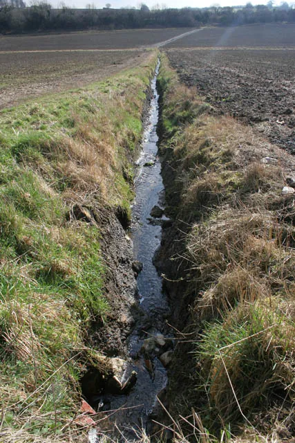
Fast flowing stream - geograph.org.uk - 1198030.jpg — Kate Jewell; CC BY-SA 2.0. Resized and converted to WebP; source: https://commons.wikimedia.org/wiki/File:Fast_flowing_stream_-_geograph.org.uk_-_1198030.jpg
A familiar woodland circuit after heavy rain
Imagine a family planning a short woodland circuit beside a Welsh river. The outward leg crosses a footbridge; the return uses stepping stones shown in a popular route description. The car park is close to the stones, making a final crossing feel tempting.
After wet weather, the sensible plan is to remove the stepping-stone dependency before starting. The family can use an out-and-back route to the footbridge or choose a different circuit. If they discover the problem only on arrival, retracing is a valid finish. Being able to see the car across the water does not shorten the consequences of a fall.
The same reasoning applies on Scottish burns, Pennine streams and lowland paths in Northern Ireland. Local access and weather differ, but distance already walked does not make a doubtful crossing safer. Decide based on the remaining choices, not on how frustrating the detour feels.
For the wider forecast, read weather warning colours explained. A warning helps with the decision to choose a different walk; it does not describe every individual crossing.
A short pre-walk checklist
- Mark every ford, stepping-stone section and low riverside path.
- Check weather, official flood information and local closures.
- Choose a bridge-based alternative or a route staying on one bank.
- Allow enough time and supplies for returning the way you came.
- Keep navigation, phone, lighting and shelter accessible.
- Agree that nobody will be pressured into entering the water.
- Leave route and return information with a reliable contact.
Common questions
Is ankle-deep water safe to cross?
There is no universal safe depth. Flow, footing, hidden holes, temperature and the person's condition all matter. Do not use a depth estimate as permission to enter floodwater.
Will walking poles make a crossing safe?
No. Poles do not remove current, submerged hazards or the risk of a fall. Their presence should not change a decision to avoid a hazardous crossing.
Can I cross where somebody else has just crossed?
That does not establish safety for your group. Conditions can change, and you do not know how close the other person came to falling. Use a safe alternative.
Is a bridge always safe during a flood?
No. Respect closures, avoid damaged bridges and assess whether the approaches are accessible without entering floodwater. Do not inspect underneath or climb onto a structure that may be damaged.
Should I report a damaged path afterwards?
Yes, once safe, report its location to the council or land manager responsible. Include a photograph only if taken safely. Do not revisit a hazardous spot to collect evidence.
Sources
- GOV.UK: What to do before or during a flood. Checked 2 November 2026.
- Canal & River Trust: Water safety during flooding. Checked 2 November 2026.
- National Water Safety Forum: Running, walking and cycling. Checked 2 November 2026.